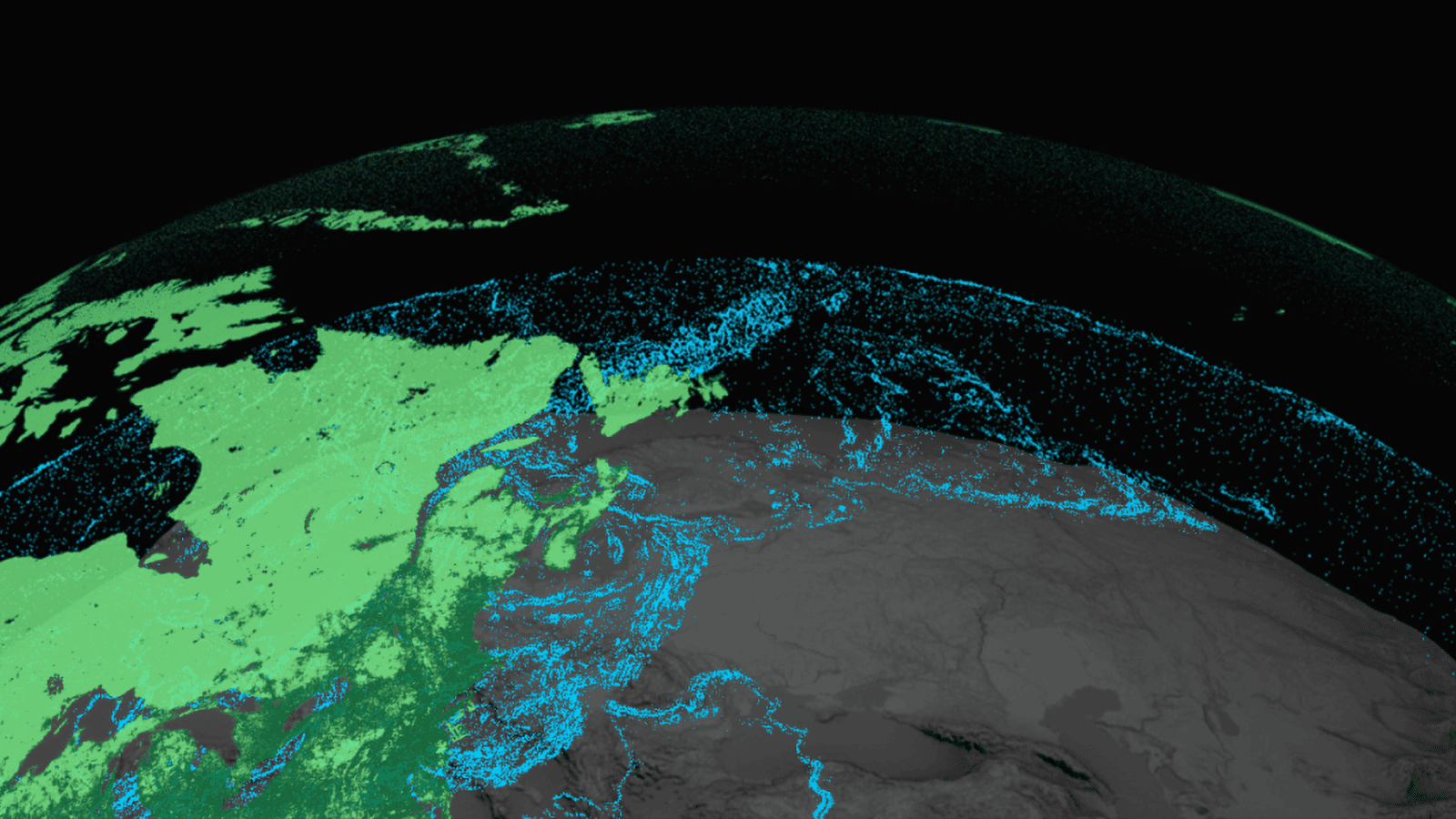
One of the first steps in any landscape project is soil analysis, and GIS plays a key role in this process. At Ecolandscape Studio, we use GIS to accurately determine the composition of the soil, its structure, acidity, and permeability. This data is essential for the proper selection of plants and the design of drainage systems, which helps avoid mistakes and create long-lasting and sustainable landscaping.
In our experience, GIS helps to identify even the smallest changes in soil composition, such as areas with high acidity or low organic content. This allows us to select plants that will thrive in specific areas, as well as implement necessary measures to improve soil in problematic zones. We always strive for the landscape to not only look beautiful but also be environmentally sustainable.
Drainage and Hydrological Analysis: Why It’s Important for Sustainable Landscapes
An important aspect of landscape design is managing water resources. At Ecolandscape Studio, we use GIS for detailed drainage planning and conducting hydrological analysis to prevent issues such as flooding and soil erosion.
Using GIS, we build water flow models, analyze the terrain, and develop efficient drainage systems, considering all possible scenarios of water behavior on the site. This helps us create projects that are not only aesthetically pleasing but also functional, with minimal maintenance costs. We believe that proper drainage is a key element of successful landscape design, especially in areas with unpredictable rainfall or regions prone to flooding.
Plant Selection: How GIS Helps Find the Optimal Solution
The right choice of plants is not only an aesthetic decision but also a technical task that requires consideration of numerous factors. At Ecolandscape Studio, we actively use GIS to precisely determine which plants will be optimal for a given site, considering its climatic and soil conditions.
GIS allows us to analyze data on temperature fluctuations, humidity, rainfall, and other climatic characteristics, which helps us create projects with minimal irrigation and maintenance needs. With GIS, we also create vegetation maps that help us visualize how plants will grow and develop depending on the season. This enables us to choose species that not only look beautiful but also support ecosystem balance.
As noted by our founder and CEO of Ecolandscape Studio, Martin Palma, “Using GIS has allowed us to significantly improve the accuracy of plant selection, which helps create more sustainable and long-lasting landscape solutions. It’s not just about beauty; it’s about ensuring that our design aligns with natural conditions and remains effective in the long term.”
3D Modeling and Visualization: How GIS Changes the Approach to Design
One of the most impressive advantages of using GIS in landscape design is the creation of detailed 3D models. At Ecolandscape Studio, we use these technologies so our clients can see in advance how their site will look once the work is completed. GIS allows us to create interactive visualizations where you can not only see the overall appearance of the territory but also analyze how it behaves in different seasons.
Our projects include not only vegetation and infrastructure elements such as paths, water bodies, or terraces but also shadow and lighting analysis. This helps us create a project that will be as harmonious and functional as possible in any conditions. GIS gives us the ability to precisely predict how the landscape will change over time and help clients make an informed choice.
Environmental Sustainability: GIS as a Tool for Sustainable Design
At Ecolandscape Studio, we are always striving for environmental sustainability in our projects. The use of GIS helps us create landscape solutions that minimize negative impacts on the environment. These technologies allow us to integrate solutions for green roofs, passive drainage systems, and solar panels, which help reduce the carbon footprint and increase energy efficiency.
GIS also enables the modeling of ecosystems on the site, which helps us create projects that support biodiversity, restore soil, and promote the conservation of natural resources. We believe that creating a sustainable landscape is not only about beautifying the territory but also making it as harmonious with nature as possible.
At Ecolandscape Studio, we actively incorporate GIS technologies at every stage of our landscape design. These innovative tools help us create accurate, environmentally sustainable, and functional projects that meet the highest client expectations. With GIS, we can effectively analyze soil, plan drainage, select plants, and create 3D models that show the future of your landscape.
We are convinced that the use of GIS is key to creating beautiful, long-lasting, and sustainable landscape solutions that will delight their owners not only in the coming years but also in the long term.